

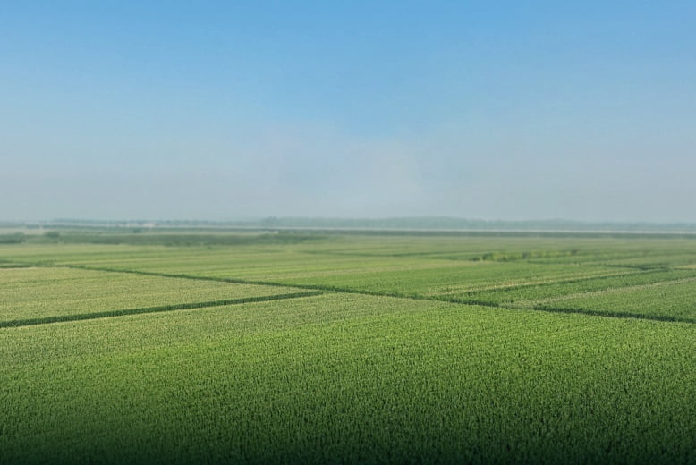
Smart Farming from the Sky
Harness the power of aerial imaging and precision mapping to gain valuable insights into crop health, soil conditions, and field performance. Our professional agricultural drone surveys deliver GPS-accurate results quickly and affordably.
Services Included
- Multispectral Crop Monitoring — NDVI and plant health analysis
- Soil & Drainage Analysis — Identify problem areas before they impact yield
- High-Resolution Farm Mapping — Detailed orthomosaic maps of your property
- Yield Forecasting — Data-driven predictions to optimise harvest planning
- Livestock Monitoring — Aerial stock counts and pasture assessment
Why Choose Aerial Surveys?
- Cover hundreds of hectares in a single flight
- Reduce input costs with targeted application zones
- Improve yields with early issue detection
- Track changes over time with repeat surveys
Contact us to book your aerial farm survey and take the guesswork out of growing.