

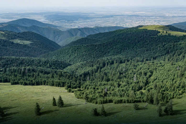
Professional Aerial Survey & Mapping
High-accuracy aerial survey and mapping services using RTK-enabled DJI Enterprise platforms. From topographic surveys to volumetric stockpile measurements, we deliver survey-grade data for engineering, construction, and mining applications.
Survey Services
- Topographic Surveys — DTM/DSM generation for engineering design and planning
- Volumetric Analysis — Stockpile measurements for mining, quarry, and construction
- Orthomosaic Mapping — High-resolution georeferenced aerial imagery
- 3D Modelling — Photogrammetric point clouds and mesh models
- Progress Monitoring — Repeat surveys for construction and earthworks tracking
- Corridor Mapping — Road, rail, and pipeline route surveys (BVLOS-capable)
- Cadastral & Boundary Surveys — Property boundary verification and land assessment
Accuracy & Equipment
- RTK/PPK positioning for centimetre-level accuracy
- DJI Matrice 350 RTK, Matrice 4D, and Mavic 3 Enterprise platforms
- Zenmuse L2 LiDAR and P1 photogrammetry payloads
- DJI Terra and third-party processing software
- Ground control point (GCP) surveys available
Contact us for a quote based on site size, accuracy requirements, and deliverable specifications.