Overview
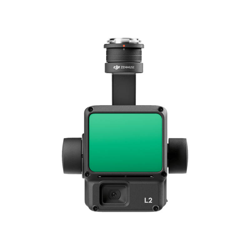
The DJI Zenmuse L2 is a high-performance LiDAR payload for the DJI Matrice 350 RTK, designed for rapid 3D surveying, topographic mapping, and terrain modelling. Combining a LiDAR module with an integrated 4/3 CMOS RGB camera, the L2 captures colourised point clouds that deliver both geometric accuracy and visual context — enabling surveyors and engineers to produce detailed 3D models, digital elevation models, and cross-section profiles.
The L2 features a repetitive scanning rate of 240,000 points per second with up to 5 returns per pulse, enabling penetration through vegetation canopy for bare-earth surface modelling. Its detection range extends to 250 m (at 80% reflectivity) with a ranging accuracy of ±2 cm at 150 m. Combined with the M350 RTK's centimetre-level RTK positioning, the L2 achieves absolute horizontal accuracy of 4 cm and vertical accuracy of 2.5 cm — meeting the requirements of most engineering and cadastral survey applications.
The L2's integrated 20 MP RGB camera supports true-colour point cloud generation for photorealistic 3D models and orthophotos. It supports multiple scanning modes including repetitive, non-repetitive, and line patterns optimised for different terrain types. Post-processing is handled in DJI Terra, which generates point clouds, DEMs, DSMs, contour lines, and 3D mesh models from L2 data.
| Specification | Details |
|---|---|
| Weight | Approx. 905 g (gimbal + payload) |
| LiDAR Detection Range | 250 m @ 80% reflectivity, 100 m @ 10% reflectivity |
| Point Rate | 240,000 pts/s (single return), up to 5 returns |
| Ranging Accuracy | ±2 cm @ 150 m |
| Laser Wavelength | 905 nm |
| Laser Safety | Class 1 (eye-safe) |
| FOV | 70° (non-repetitive), 70° × 4° (repetitive) |
| RGB Camera | 4/3 CMOS, 20 MP, mechanical shutter |
| IMU | Built-in high-performance IMU |
| Scan Modes | Repetitive, Non-repetitive, Line |
| IP Rating | IP54 |
| Operating Temperature | -20°C to 50°C |
| Compatible Aircraft | DJI Matrice 350 RTK |
| Absolute Horizontal Accuracy | 4 cm |
| Absolute Vertical Accuracy | 2.5 cm |
| Point Cloud Density | ≥100 pts/m² @ 100 m altitude, 10 m/s speed |